
Storms · Weather · Preparedness
A Hurricane Can Miss Baja and Still Matter
A storm’s center can stay offshore while rain, flooding, rough surf, and dangerous travel conditions reach Baja California Sur. Hurricane Lorena showed why distance alone never tells the full story.
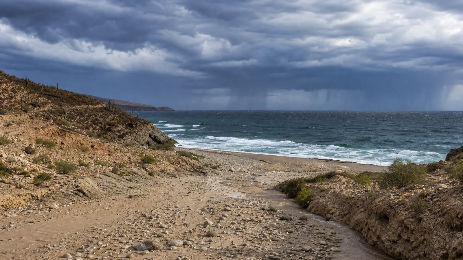
On a hurricane map, the center gets most of the attention. It has the icon, the forecast line, and the coordinates that tell us how far the storm is from land. When that line bends away from Baja California Sur, the sense of relief is understandable. The problem is that an offshore track answers only one question: Where is the center expected to go?
By itself, the track does not tell us how much rain may fall over the mountains, how quickly water may fill an arroyo, how large the waves may become, or whether roads will remain passable. A hurricane can miss Baja in the narrow geographic sense and still produce serious local effects. Hurricane Lorena in September 2025 is a clear example.
What does it mean for a hurricane to “miss” Baja?
In this article, a miss means that the storm’s center remained offshore and did not make landfall in Baja California Sur. It does not mean that the storm had no effect on the peninsula. A tropical cyclone is not a single point moving across a map. It is a large weather system with rain bands, wind, waves, and moisture that may extend far from its center. All of that interacts with local terrain, coastlines, roads, and communities. The center can remain over water while some of the storm’s consequences occur on land.
Lorena stayed offshore. The rain did not.
According to the National Hurricane Center’s final report, Lorena became a Category 1 hurricane on September 3, 2025, while about 85 nautical miles southwest of Cabo San Lucas. It later reached peak sustained winds of 75 knots before weakening rapidly. The center remained offshore, passing about 100 nautical miles west of southern Baja California Sur, but that distance did not prevent extraordinary rainfall.
Santa Anita recorded a storm total of 312 millimeters, or 12.28 inches. San José del Cabo received 228 millimeters, or 8.98 inches, while Yeneka and Boca del Salado each received more than 10 inches. These were not minor fringe effects from a distant storm. The rain caused flooding in Los Cabos and surrounding areas.
The final NHC report documented at least eight homes inundated by water and three additional residences reportedly swept away by floodwaters. Approximately 50 vehicles became stranded on flooded or damaged roads. Four landslides were documented, mud and debris blocked roadways across Los Cabos, and 119 people sought refuge in four temporary shelters. Lorena did not produce any land-based reports of sustained tropical-storm-force winds, but Cabo San Lucas recorded a gust of 53 knots, approximately 61 mph or 98 km/h. Sierra La Laguna recorded a gust of 44 knots, approximately 51 mph or 81 km/h.
The report found that no fatalities or injuries could confidently be attributed to Lorena. Even so, the flooding had real consequences for people whose homes, vehicles, roads, and travel were affected while the center remained offshore.
The cone is not an impact boundary
The National Hurricane Center’s forecast cone communicates uncertainty in the predicted path of a tropical cyclone’s center. It is not a line separating affected areas from unaffected ones. Modern NHC cone graphics may also display forecast wind areas and watches or warnings, which adds useful context, but the cone itself still describes where the center is most likely to travel. It does not represent the complete footprint of every hazard.
Rain can extend beyond the cone. Ocean swells can travel far beyond it, and wind gusts in outer rain bands can occur away from the strongest winds near the center. A location outside the cone is not automatically safe from effects, just as a location inside the cone is not guaranteed to experience the center or the storm’s worst conditions. The cone is one part of the forecast and should be read alongside rainfall guidance, wind fields, watches and warnings, surf forecasts, and local emergency information.
Category is important, but incomplete
Lorena was a Category 1 hurricane. That classification describes the storm’s maximum sustained winds. It does not measure total rainfall, flood potential, wave energy, landslide risk, or the condition of a particular road. A higher category generally means stronger maximum winds, but category alone cannot summarize the full local risk. A compact, powerful hurricane and a broad, moisture-rich tropical storm can create very different hazards, and a storm can weaken while its rainfall continues over land.
Rainfall is rarely distributed evenly across the peninsula. Mountain slopes can enhance rainfall in some areas, while steep terrain and normally dry drainage channels can concentrate runoff. Water may move rapidly through arroyos and across low roadways even when conditions at the coast or a nearby town appear less severe. Category answers the wind question, but local decisions also depend on which hazards are expected where you are.
The ocean can carry a storm’s influence a long way
Rain and flooding are not the only reasons to follow a hurricane that remains offshore. Hurricanes generate wave energy that can travel hundreds or even thousands of miles from the storm. When those swells reach a coastline, they may produce rough surf, large breaking waves, dangerous shorebreak, and rip currents, sometimes beneath otherwise pleasant weather.
Research published in the Journal of Operational Meteorology examined the communication challenge created by distant tropical cyclones. The authors documented 87 surf fatalities along the continental United States between 2000 and 2022 that were associated with distant Atlantic tropical cyclones whose direct effects remained far from the local area.
That research concerned the United States coastline, not Baja California Sur, so those statistics should not be treated as local. The communication problem is still familiar: when a storm is far away, people may dismiss the hazard because the weather nearby does not look threatening. Lorena’s final report did not attribute any BCS deaths or injuries to surf or rip currents. The broader ocean risk matters because it is one of the ways a future offshore hurricane may affect Baja even when its local rain and wind remain limited. Beach conditions need to be judged through current local forecasts, warnings, and observations, not through center distance alone.
“Moving away” should not end the conversation too early
Storm communication often becomes compressed into a few reassuring phrases:
- It will stay offshore.
- It is only a Category 1.
- The center is moving away.
- Baja is outside the cone.
Each statement may be factually correct and still leave out information people need.
Most offshore storms will not cause severe local damage, and there is no reason to make them sound alarming. Still, “no landfall” should not become shorthand for “nothing to monitor.” Runoff can remain on roads after the wind threat drops, rain bands can cross the mountains after the center turns away, and dangerous surf can arrive under pleasant skies. Research on distant-cyclone rip-current messaging also found that warnings work better when they are available in accessible formats and shared through organizations that already serve vulnerable communities. That is a useful lesson in a region where people rely on different languages and information channels.
How to read the next offshore forecast
When a tropical cyclone is forecast to pass Baja California Sur without landfall, check more than the center track:
- Distance and direction: Is the storm approaching, passing, or moving away?
- Forecast wind field: How far do tropical-storm-force winds or gusty rain bands extend?
- Rainfall: Are heavy totals forecast over mountains, arroyos, or urban areas?
- Watches and warnings: What have NHC, SMN/CONAGUA, Protección Civil, and local authorities issued?
- Ocean conditions: Are rough surf, high waves, or rip currents expected?
- Local consequences: Are roads closed, arroyos flowing, shelters open, or services disrupted?
Lorena’s offshore track was reassuring, but Santa Anita still received more than a foot of rain and flooding disrupted homes, roads, and travel across the region. That is why BajaStorms tracks more than the cone. The center path matters, but so do the rain, wind, ocean conditions, and official warnings that tell us what a storm may mean on the ground.
Sources
- Tropical Cyclone Report: Hurricane Lorena (EP122025) — National Hurricane Center
- How to Use the Cone Graphic — National Hurricane Center
- Rip Currents: The Hidden Hurricane Hazard — National Hurricane Center
- Messaging the Rip Current Threat from Distant Tropical Cyclones in the Carolinas — Journal of Operational Meteorology